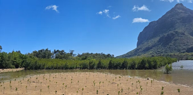
Mangroves: we used freely-available satellite images to track climate-resilient forests
"Satellites equipped with radar or specialised sensors can measure the height and structure of forests... Satellite images can also help engage local people in restoration efforts and... help scientists map changes along the coast and assess how vulnerable mangroves might be."
#climatechange #climatecrisis #sealevelrise @TheConversationAfrica @theconversationes @TheConversationUS
Mangroves: we used freely-available satellite images to track climate-resilient forests
Scientists have monitored mangroves in Mauritius, and found some forests are growing.The Conversation

